Region overview
Service roads, relay towers, drainage channels, depots, forestry tracks, empty housing blocks, and checkpoints form a playable region with clear landmarks and uncertain control.
World notes
A restricted inland zone where public services failed, armed groups filled the gaps, and every road still carries evidence of a hurried evacuation.
Last updated 2026-04-28
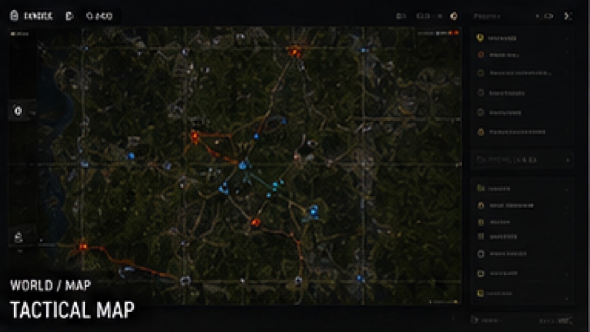
Map Board
The current blockout is built around three pressure lines: the road into the checkpoint, the relay hill above it, and the forest route players use when they cannot afford a fight.
Service roads, relay towers, drainage channels, depots, forestry tracks, empty housing blocks, and checkpoints form a playable region with clear landmarks and uncertain control.
Routes are designed around risk layering. A short road may be watched, a forest path may be slower, and a flooded approach may protect the player while draining stamina.
Zones
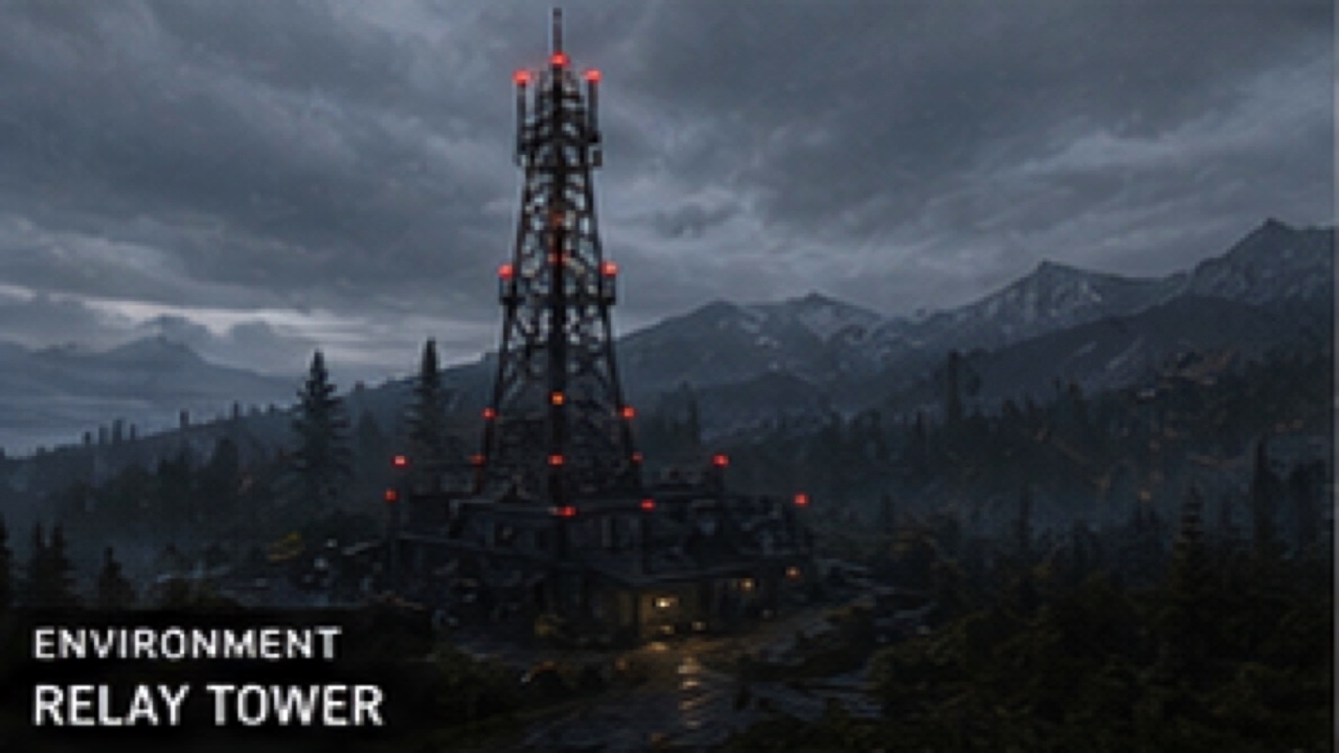
High ground, antenna sites, maintenance sheds, wind exposure, and extraction routes visible from too far away.
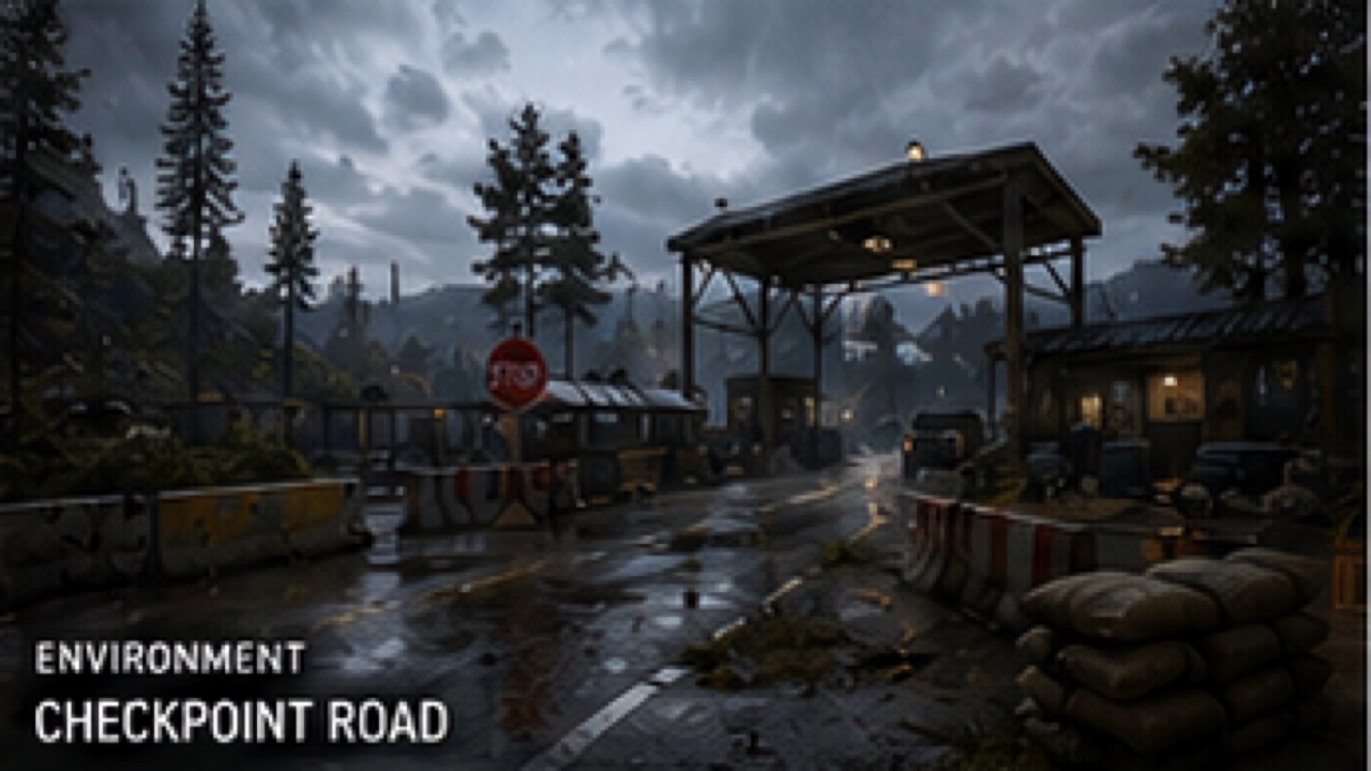
Concrete blocks, watch positions, vehicle wrecks, and routes that can be crossed quickly only when timing is right.
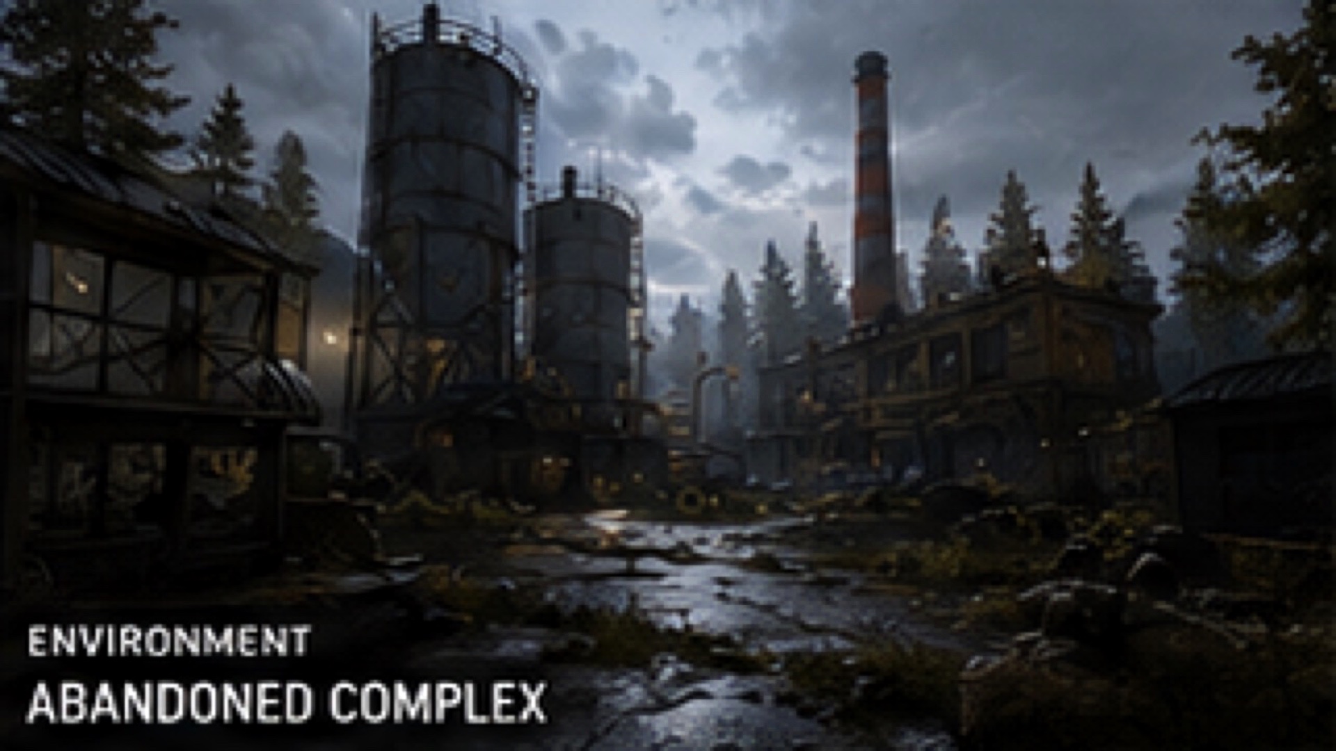
Empty offices, utility rooms, stores, and improvised barricades with believable loot and poor visibility.
Factions
Territorial groups defending supply corridors and familiar settlements.
Disciplined teams hired to recover assets and lock down access points.
Small opportunistic groups focused on fuel, medicine, tools, and trade goods.
Former response units trying to keep a few safe routes functional.
Well-equipped movement seen near relay sites and sealed depots, with unclear orders.